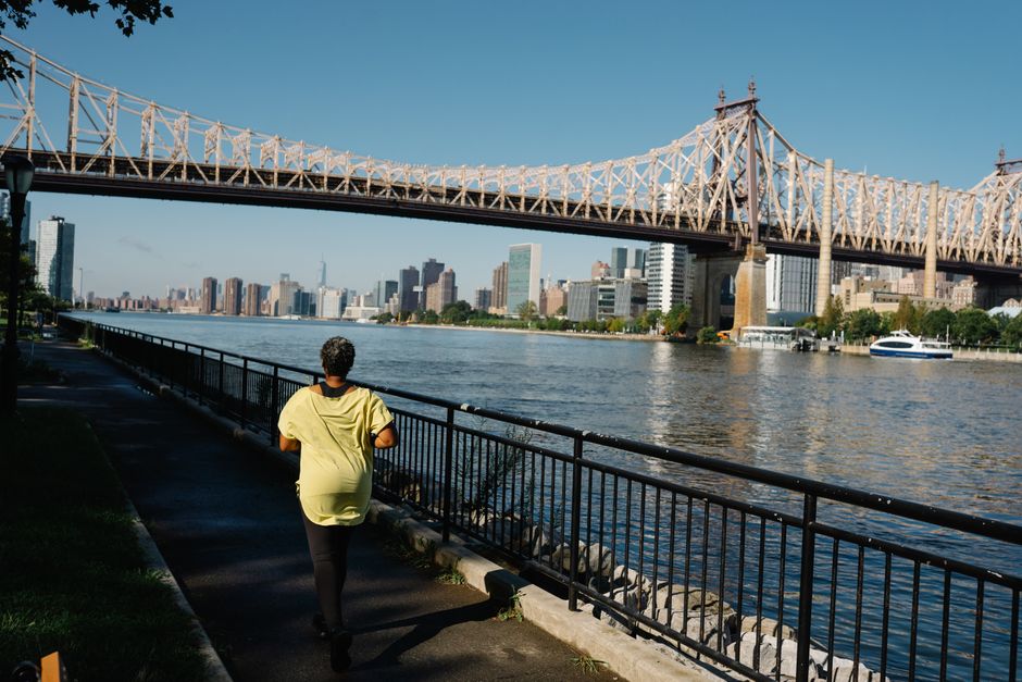
Central Park's Jacqueline Kennedy Onassis Reservoir loop has long been the unofficial headquarters of New York's running culture. But as the city's network of outdoor fitness routes expands—from the Hudson River Greenway's newly extended sections in Upper Manhattan to Brooklyn's still-evolving waterfront paths—many runners remain tethered to the same handful of familiar routes simply because they don't know what alternatives exist.
Enter TrailLink NYC, a free digital mapping platform launched by a coalition of local nonprofits and the Parks Department that's quietly become the most comprehensive resource for discovering the city's running and active-commuting infrastructure. Unlike generic fitness apps, TrailLink focuses specifically on New York's diverse terrain: paved greenways, waterfront promenades, newly protected bike lanes that runners can safely use, and lesser-known neighborhood loops that bypass crowded commercial streets.
The platform maps over 180 miles of officially designated running and walking trails across all five boroughs, with detailed filters for surface type, elevation gain, and accessibility features. Runners can sort by neighborhood—whether you're in Astoria, Park Slope, or the Mott Haven section of the Bronx—and find routes tailored to their fitness level and time constraints. Each route includes real-time updates on construction, weather-related closures, and water fountain locations, information that's refreshed weekly by volunteer contributors and city agencies.
What makes TrailLink particularly valuable is its integration of the city's expanding protected bike lane network. As of mid-2026, New York has added nearly 40 miles of new protected infrastructure since 2023, creating additional safe outdoor corridors. The platform helps runners identify which of these routes—like the newly completed sections along the East Side Greenway and the extended 9W corridor in Washington Heights—are runner-friendly.
Access is straightforward: the platform is available via desktop or mobile app (iOS and Android), and the basic version is entirely free. The premium tier ($4.99 monthly) includes advanced filtering, offline map downloads, and integration with major fitness tracking apps—useful if you're training for a race and want to log multiple variations of routes.
For New Yorkers accustomed to thinking of running as a Central Park activity, TrailLink opens up possibilities that can reduce crowding and add variety to training routines. Whether you're exploring the Newtown Creek Greenway in Long Island City or testing out the recently improved paths along the Harlem River, the resource ensures you'll never again run the same route simply because you didn't know a better option existed.
This article was compiled by AI from the sources linked above and screened before publishing. See our editorial standards.